Crafted to Explore.
Premium aluminum campers designed for endless adventure.
Premium aluminum campers designed for endless adventure.


Updated for 2026 | Top GPS Devices, Apps & Tools for Overlanding
Getting lost is part of the adventure—until it's not. In remote backcountry where cell service vanishes, reliable overland navigation tools and apps are essential for safe, confident travel on trails like the Trans-America Trail or Moab's slickrock. Whether you prefer dedicated GPS units, offline-capable apps, or hybrid setups, this guide covers the best overland navigation tools and apps for 2026, including offline maps, satellite integration, and trail databases. Discover top picks to plan routes, download maps, and navigate without signal.
Standard car GPS or Google Maps fail off-road—no signal, no trails shown. The best tools offer:
Pro Tip: Always carry backups like paper maps and a compass—batteries die!
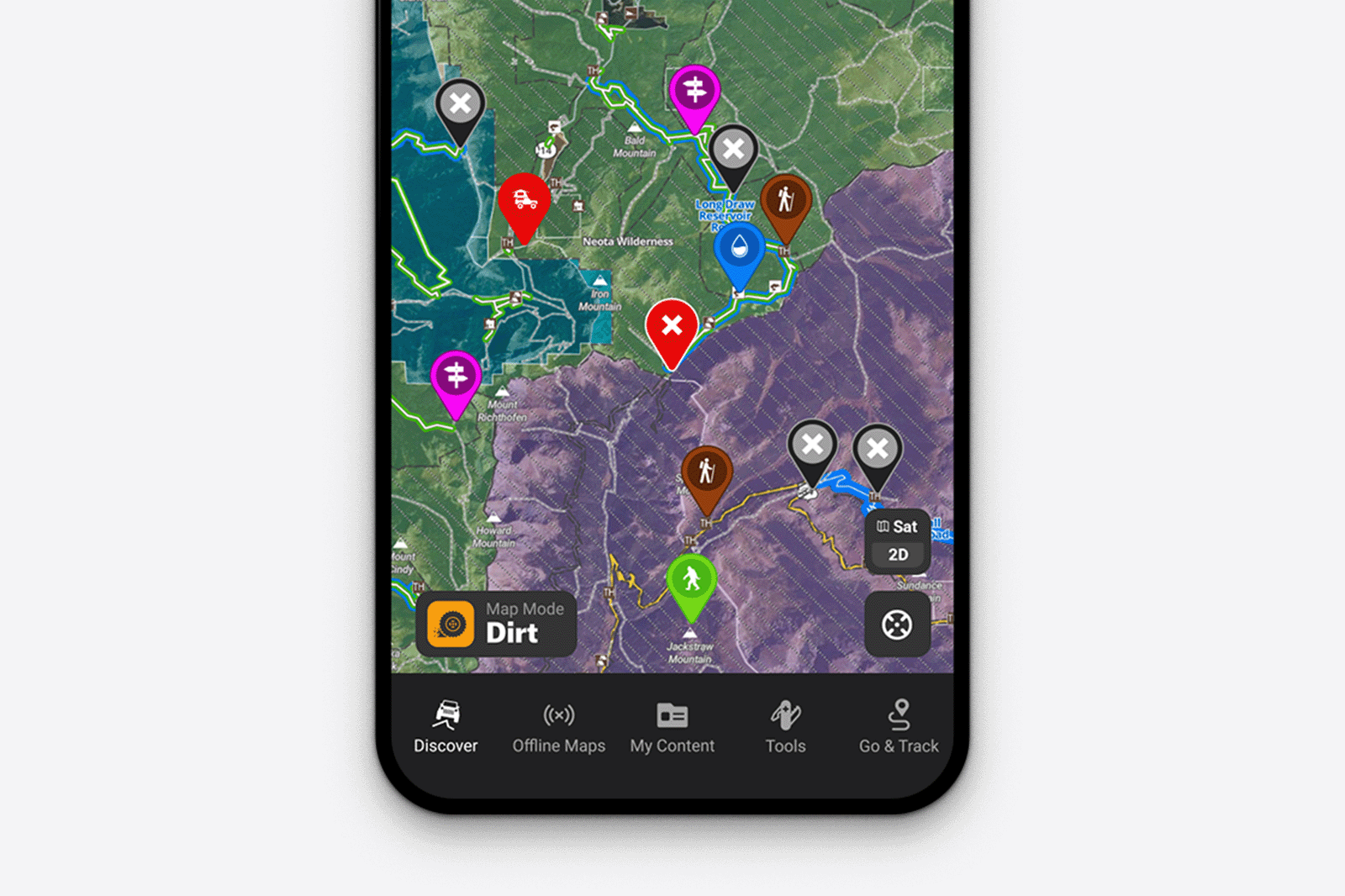
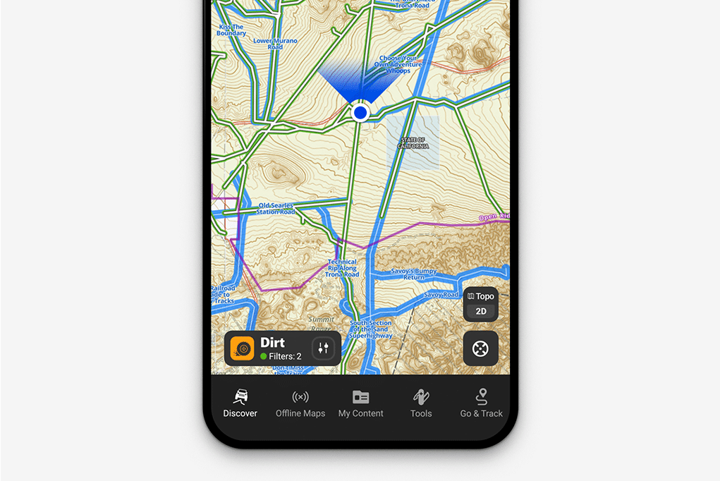
The gold standard for trail discovery with 650,000+ miles of motorized trails, public/private land boundaries, and real-time weather.
Key Features:
Pricing: Premium ~$35/year (Elite for weather/satellite imagery) Best For: US-focused explorers planning legal routes.
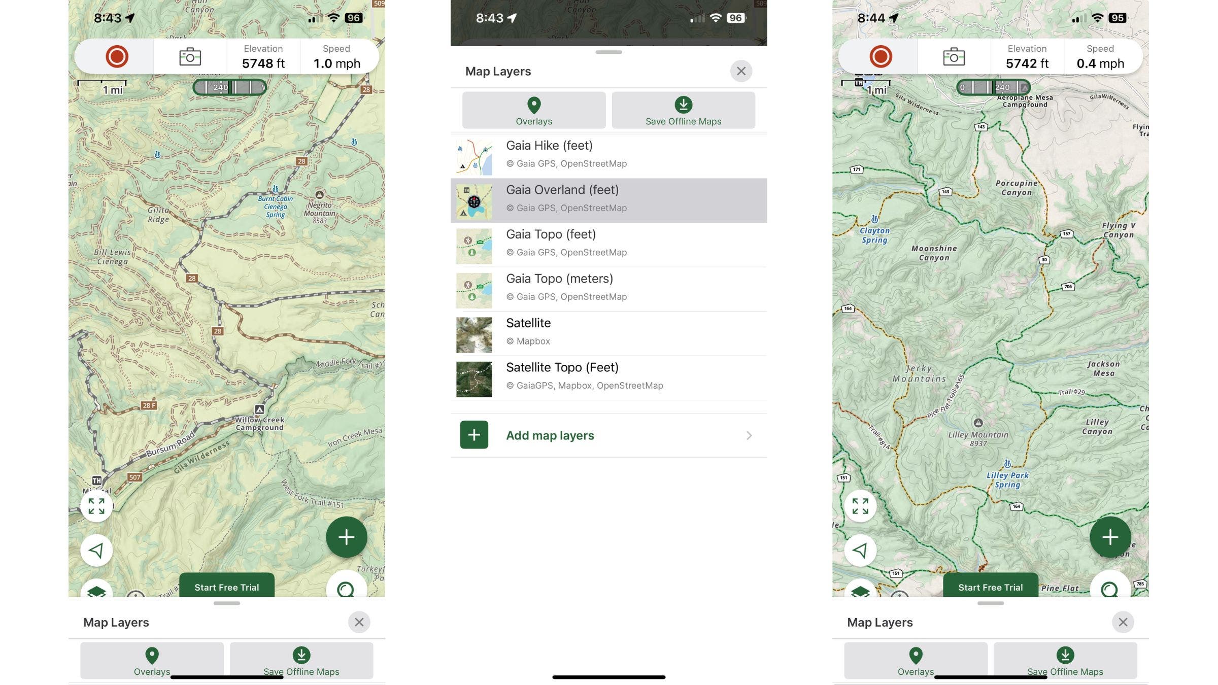
Powerful for custom route planning with unlimited offline maps from multiple sources (USGS, satellite, topo).
Key Features:
Pricing: Premium ~$40/year (includes printing) Best For: International travel and detailed topo analysis.
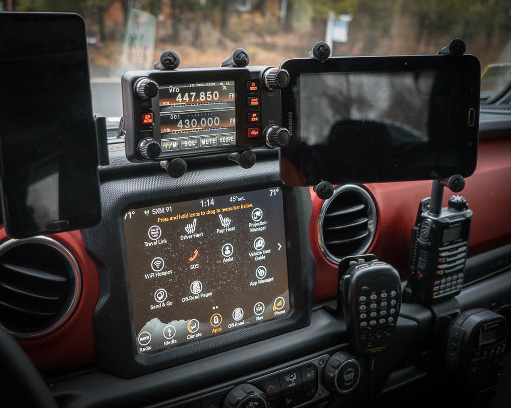
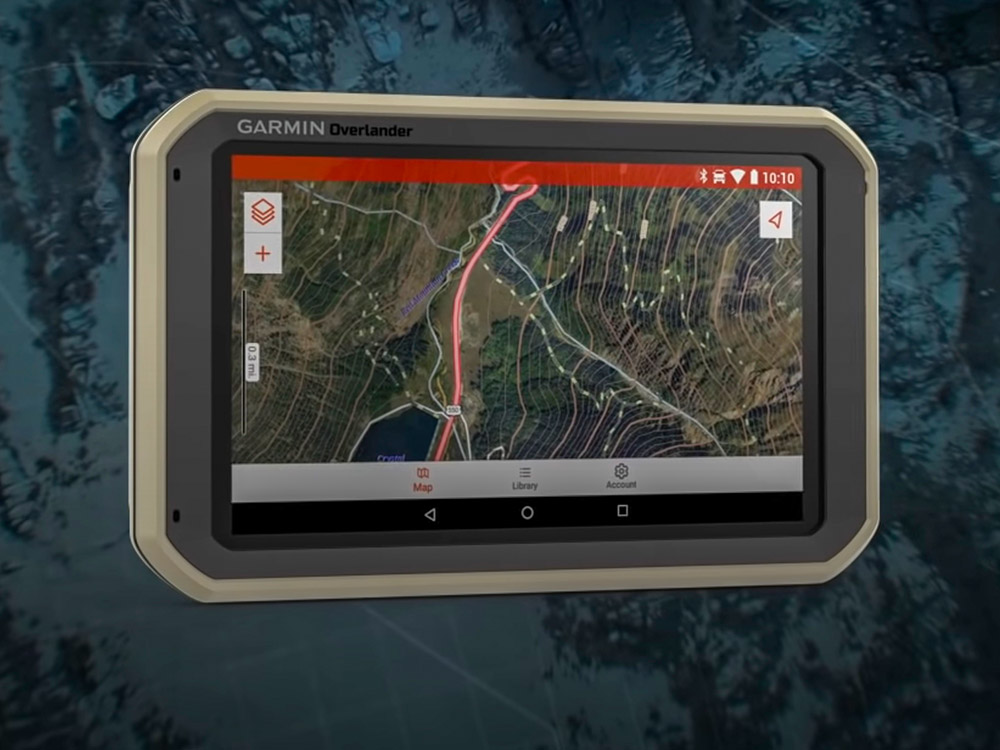
Rugged, glove-friendly navigators built for off-road.
Highlights:
Best For: Vehicle-mounted primary navigation.
Mount an iPad Mini for big-screen onX/Gaia—pair with Bad Elf GPS for accuracy.
Never rely on tech alone.
Pair with our Overland Communication & Safety Gear guide for full off-grid prep.
Ready to explore? Download these apps and hit the trails. Share your favorite navigation setup in the comments!
Last updated: December 2025. Features and pricing subject to change.
Get exclusive deals and early access to new products.
Cascadia Overland Co.
17727 160TH ST SE
Suite A
Monroe, WA 98272
Office: (425) 908-0259
Call/email to schedule a viewing
Monday-Friday: 9am-5pm
Saturday - Closed
Sunday - Closed